Frost Tracking Maps
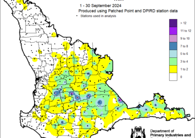
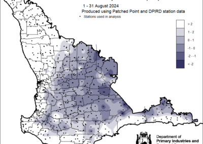
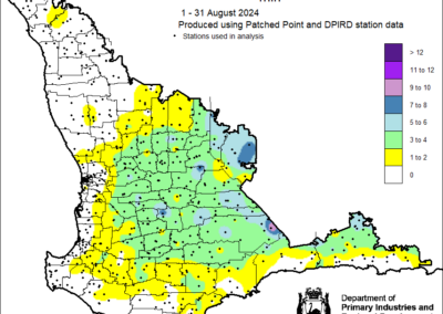
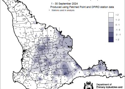
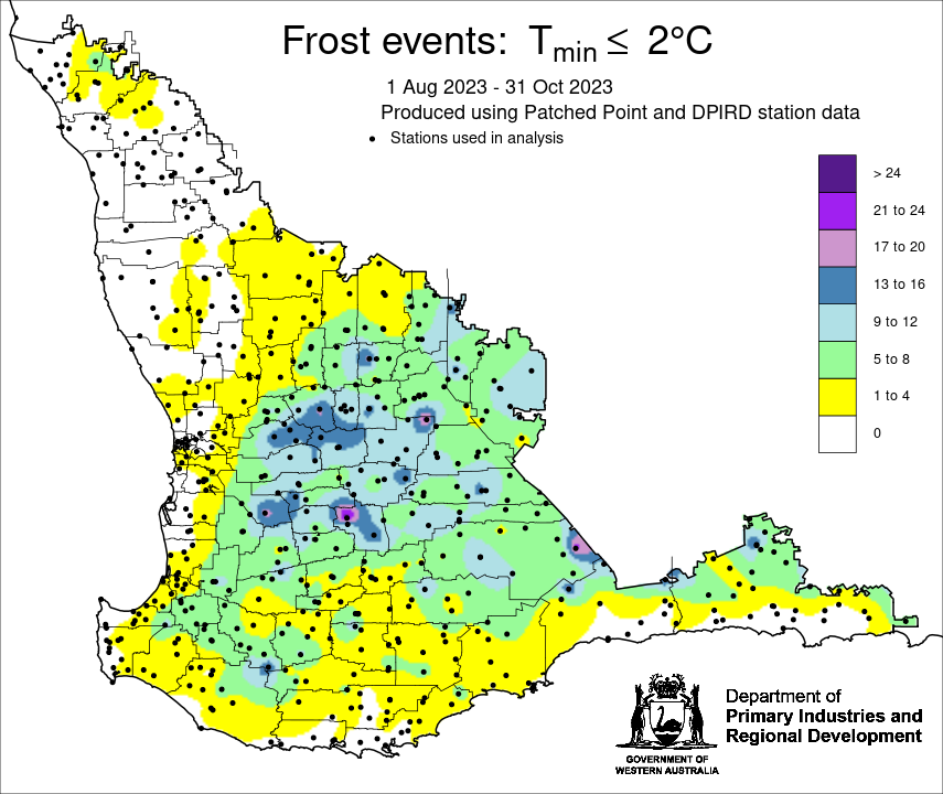
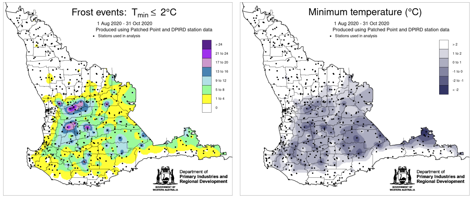
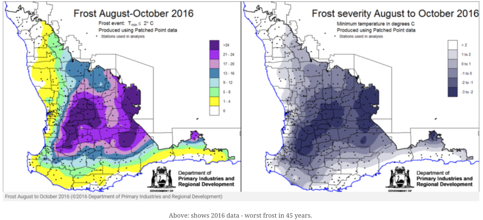
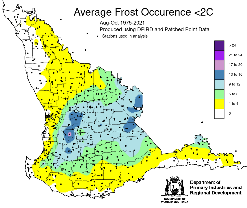
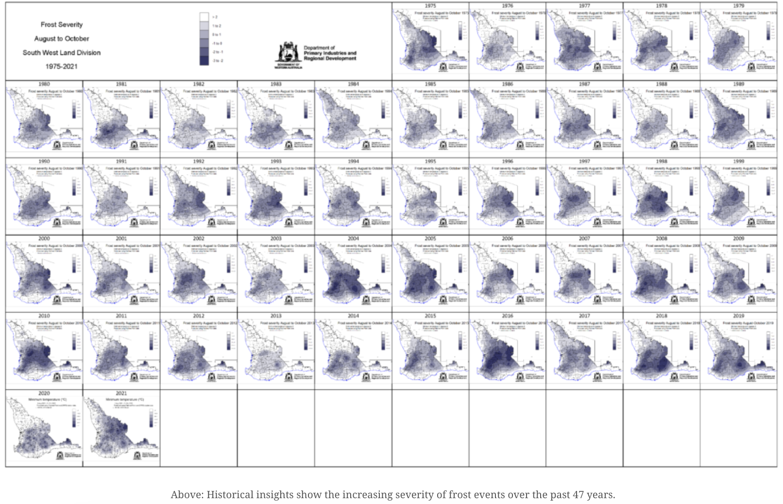
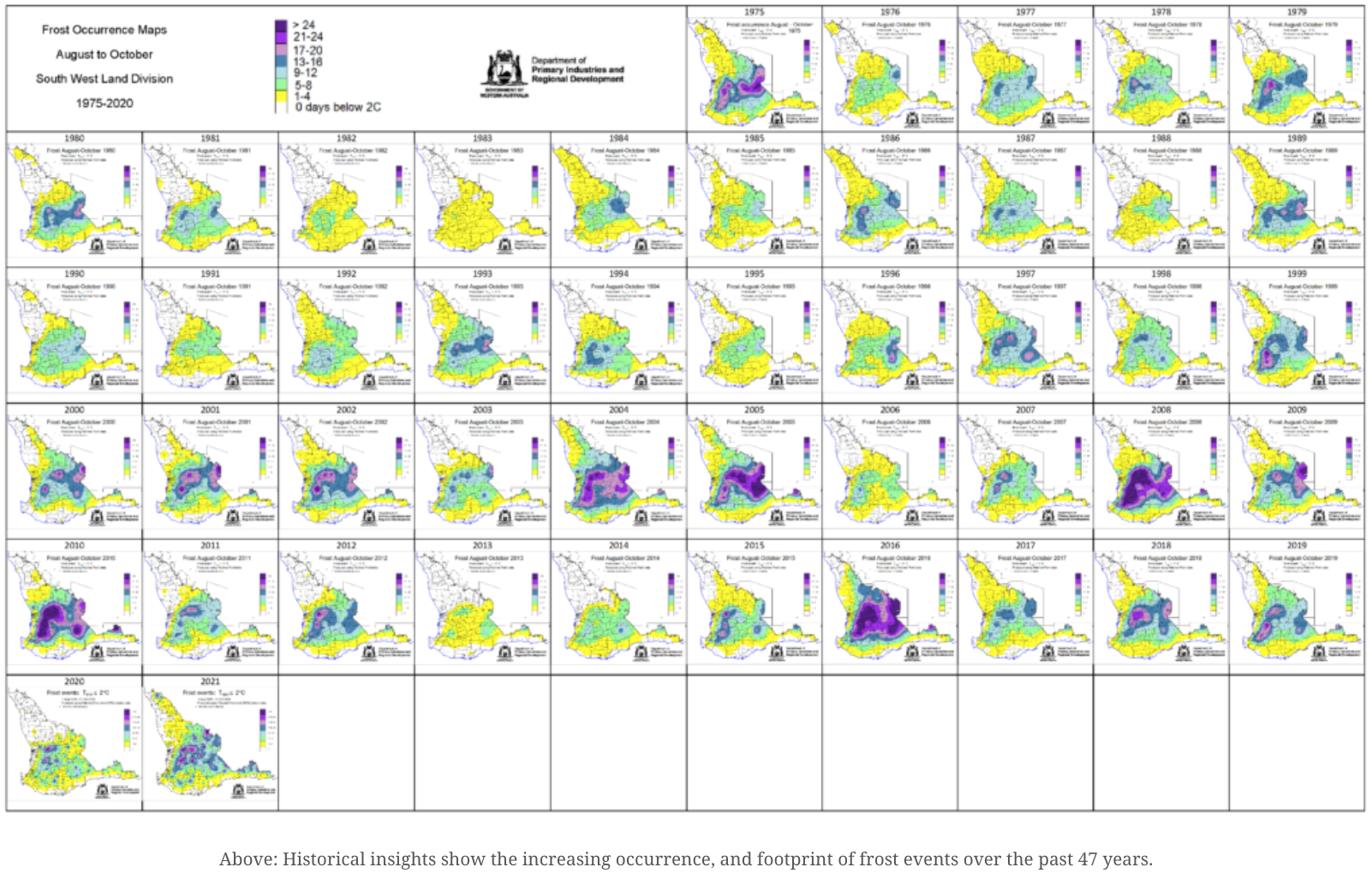
The historical frost maps for the South West Land Division provide growers with valuable insights into temperature trends and climate risks, enabling them to make data-driven decisions to protect crops. By identifying frost-prone areas and analyzing long-term climate patterns, farmers can better plan planting schedules, select resilient crop varieties, and implement targeted risk management strategies. This evidence-based approach allows for more effective resource allocation and helps improve crop resilience, reduce financial risks, and ensure stable yields amid Western Australia’s variable climate. These maps show historical insights, increasing occurrence, severity, and footprint of frost events over the past 47 years, including a benchmark year; 2016 worst frost event for WA.

2021 Season


